Basic Information
Observation Details
Observation Date:
March 6, 2020Submitted:
March 6, 2020Observer:
SAC - Lundy, StefanZone or Region:
Sawtooth and Western Smoky MtnsLocation:
Beaver CreekSigns of Unstable Snow
Recent Avalanches?
YesCracking?
None ExperiencedCollapsing?
None ExperiencedSnow Stability
Stability Rating:
GoodConfidence in Rating:
ModerateStability Trend:
ImprovingBottom Line
Very warm temperatures and weak overnight refreeze lead to wet conditions at low and middle elevations. Cloud cover and wind kept upper elevations cooler. The warming today helped strengthen surfaces on all but mid to upper elevation NE-N-NW, and these have seen a great deal of wind effect.
Media/Attachments


Advanced Information
Weather Summary
Cloud Cover:
Mostly CloudyWind:
Moderate , SThere was a bit of thin, high clouds over the Sawtooth Valley this morning, but the more significant radiation-blocking clouds moved in around 1400. Winds on exposed ridges were gusty and blowing at light to moderate speeds.
Avalanche Observations
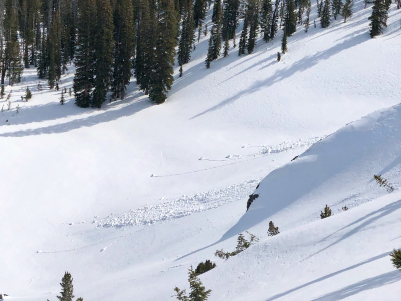
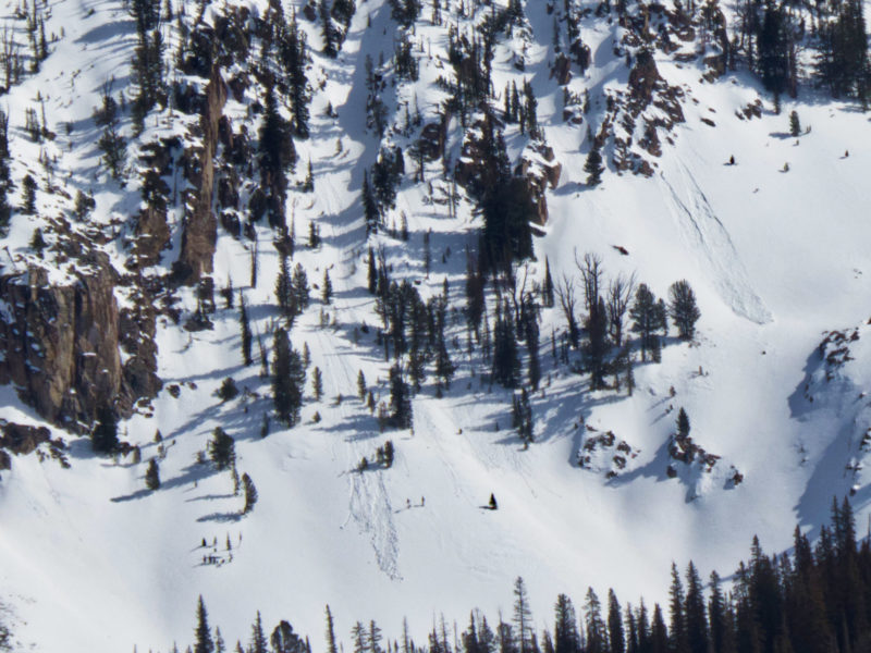
We observed a couple small, fresh WL on mid/upper elevation W and E aspects (see photos below). We did not observe any activity on S aspects.
Snowpack Observations
Low and mid elevations took the brunt of the heat today. The boot pen in the flats at around 7200' at 1600 was full depth (~50cm). The top 30cm of mid elevation solars was wet, but below that the snowpack was moist and retaining strength. The cloud cover and wind kept things a bit cooler up high, and exposed solars even had a thin crust at the surface.
The warmth today strengthened some of the near surface faceting on mid and upper elevation E and W aspects. NE-N-NW surfaces remain fairly faceted, but many of these are weather/wind beaten at upper elevations. Overall, still a mixed bag of surfaces but overall a bit better than a few days ago.
Avalanche Problems
| Problem | Location | Distribution | Sensitivity | Size | Comments |
|---|---|---|---|---|---|
 Wet Loose
|
|
Terrain Use
We felt comfortable moving through just about all terrain except for steep, rocky, solar slopes where the snowpack surface was mushy.
