Basic Information
Observation Details
Observation Date:
December 7, 2020Submitted:
December 7, 2020Observer:
SAC - Savage, WheelerZone or Region:
Galena Summit and Eastern MtnsLocation:
Titus Ridge (SE,E,NE,NW,W: 8700-9500')Signs of Unstable Snow
Recent Avalanches?
None ObservedCracking?
None ExperiencedCollapsing?
None ExperiencedSnow Stability
Stability Rating:
Very GoodConfidence in Rating:
HighStability Trend:
SteadyBottom Line
The shallow snowpack (1-2 ft) is stable but weak. The danger/hazard will quickly rise here when it starts snowing and blowing.
Media/Attachments


Advanced Information
Weather Summary
Cloud Cover:
ClearTemperature:
24F at the Galena Summit parking lotWind:
CalmSnowpack Observations
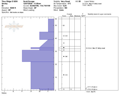
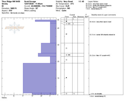
Snowpilot plots for representative pits are below.
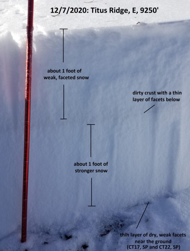
9250' East: 55cm, weak FC near the surface, weak FC above and below thin dirty Nov 17 rain crust about halfway to ground, P and 1F mixed forms in lower half of pack except 2mm dry FC/DH for bottom 1cm. The basal FC could be a problem on very smooth, grassy slopes. CT17, SP and CT22, SP at 1cm.
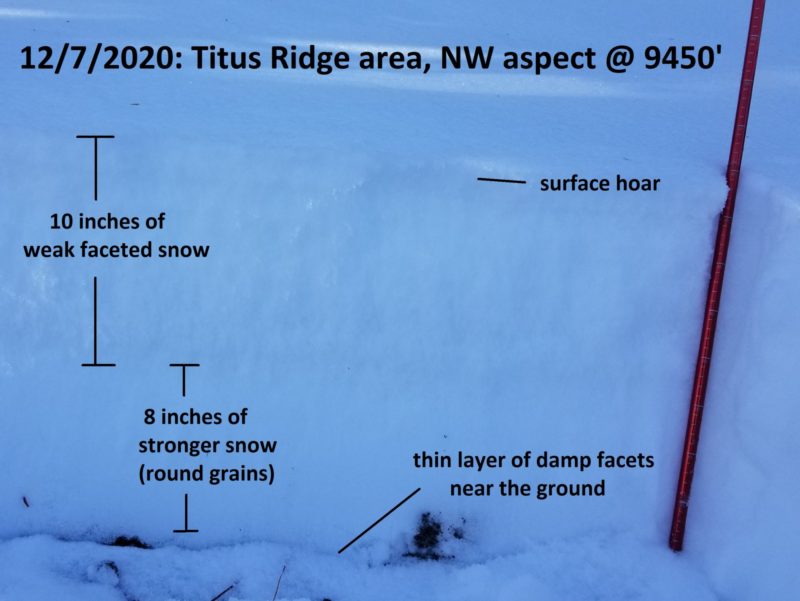
9450' West: 45cm, some small SH on surface and a better preserved layer about .5cm below the surface under a very weak razor crust, very weak FC for 20 cm down to faint degrading Nov 17 crust at 23-25cm, weak FC under old crust, then 20cm of P rounds, then 1cm of moist 1F FC/rounds at ground. CTN x2.
E and SE were taking heat and were getting damp/moist at 2PM. Lower layer of FC/DH near ground was not moist.


Avalanche Problems
No avalanche problems to speak of today: lots of weak snow and not much of a slab from 8700-9500'.
Terrain Use
We were not concerned about triggering avalanches in the terrain we traveled in, up to 35*. Thin snow cover is a hazard, especially in steeper terrain.
