Basic Information
Observation Details
Observation Date:
February 17, 2021Submitted:
February 17, 2021Observer:
SAC - Ethan DavisZone or Region:
Galena Summit and Eastern MtnsLocation:
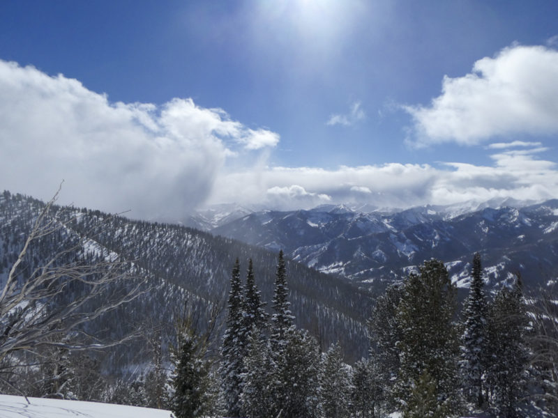
Galena Peak (S-W-N, 7,300-9,700')Signs of Unstable Snow
Recent Avalanches?
YesCracking?
IsolatedCollapsing?
None ExperiencedSnow Stability
Stability Rating:
GoodConfidence in Rating:
ModerateStability Trend:
SteadyBottom Line
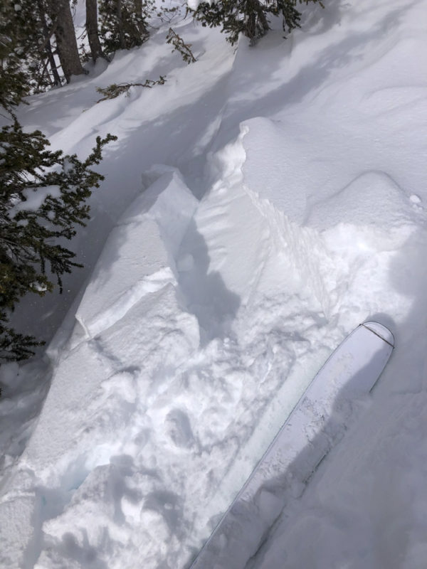
There is a fair bit of low-density snow available to build slabs with more wind or to add to a potential loose snow problem if we see prolonged sun tomorrow. I encountered soft slabs up to 2' thick as well as small, sensitive cornices and wind pillows near wind-exposed ridges.
In one area where the overall snowpack was thin, it was essentially recent drifted snowfall sitting atop a weak bed of facets.
Media/Attachments
Advanced Information
Weather Summary
Cloud Cover:
Partly CloudyWind:
Light , NWNew/Recent Snowfall:
HST = 18-25 cmSpring-like convective clouds brought bouts of graupel and gusty wind split up by extended 1hr+ periods of warm sun and calm wind.
Avalanche Observations
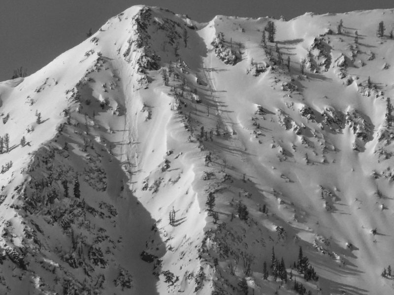
I didn't see any evidence of fresh, large slab avalanches. There were a handful of small loose snow avalanches in very steep terrain of Prairie Creek and near Titus Ridge in the Smokys. Some of these looked fresh enough that they could have been sun-induced this morning.
Snowpack Observations
Snow depths were between 100-130 cm in more sheltered terrain up to 9,000' and became more irregular in windier areas above that.
SW slope at 8,200':
(1/27) was down ~45 cm and produced ECTN25 and ECTX
(12/11) was down ~70 cm. Still dry and very weak (F) in this location and others. CPST 30/100 end.
One particularly ugly setup was observed on a S-facing slope at 9,700' where wind slab (from late Jan and this recent storm) sat directly atop a bed of facets. This produced ECTP11 and ECTP13 (see video).
Overall, avalanches seemed unlikely until I traveled into more recently wind-loaded terrain.
Avalanche Problems
| Problem | Location | Distribution | Sensitivity | Size | Comments |
|---|---|---|---|---|---|
 Persistent Slab
|
|
Weak Layer(s):
Dec 11, 2020 (FCsf)
Comments: Shaded where observed. More problematic where recently wind-loaded. |
I did not observe a true wind slab problem in the terrain I observed, but based on the reactive drifts I found at middle elevations I'd expect the problem to exist at upper elevation in this area.


