Basic Information
Observation Details
Observation Date:
February 23, 2021Submitted:
February 23, 2021Observer:
SAC - Scott SavageZone or Region:
Galena Summit and Eastern MtnsLocation:
Hailey to 4th of July Ck: driving and glassing (many aspects and elevations, but all roadside)Signs of Unstable Snow
Recent Avalanches?
YesCracking?
None ExperiencedCollapsing?
None ExperiencedBottom Line
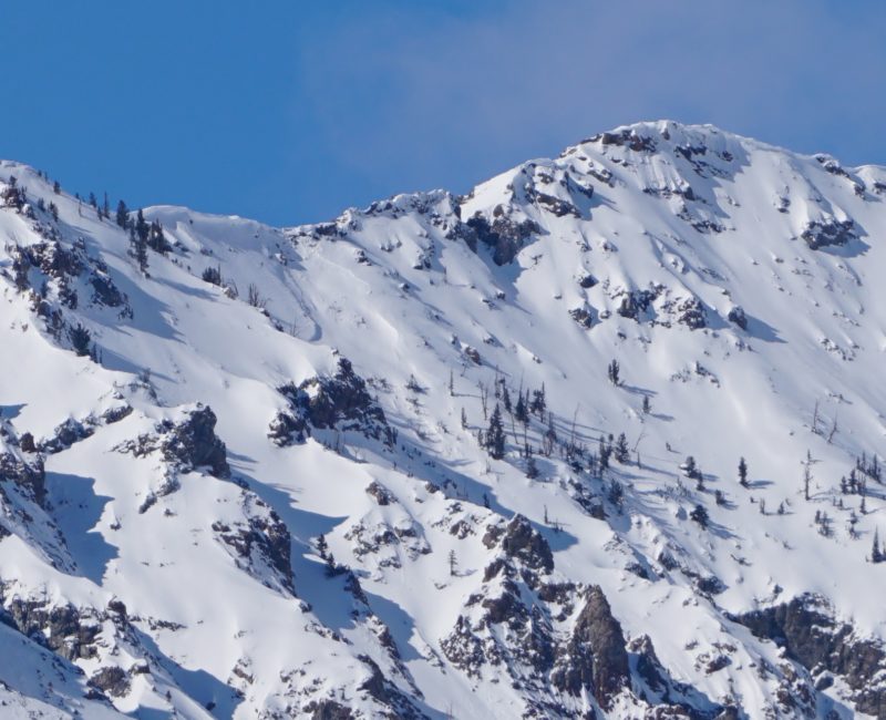
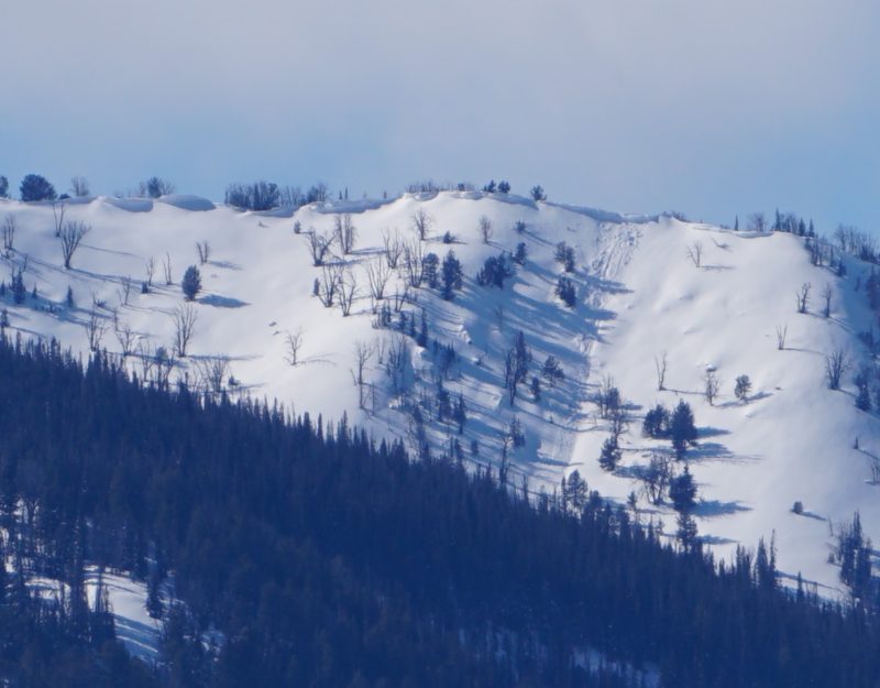
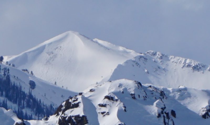
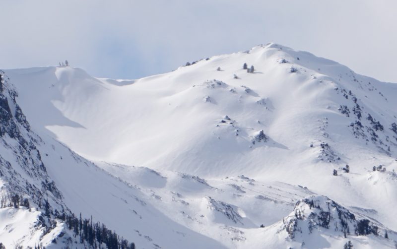
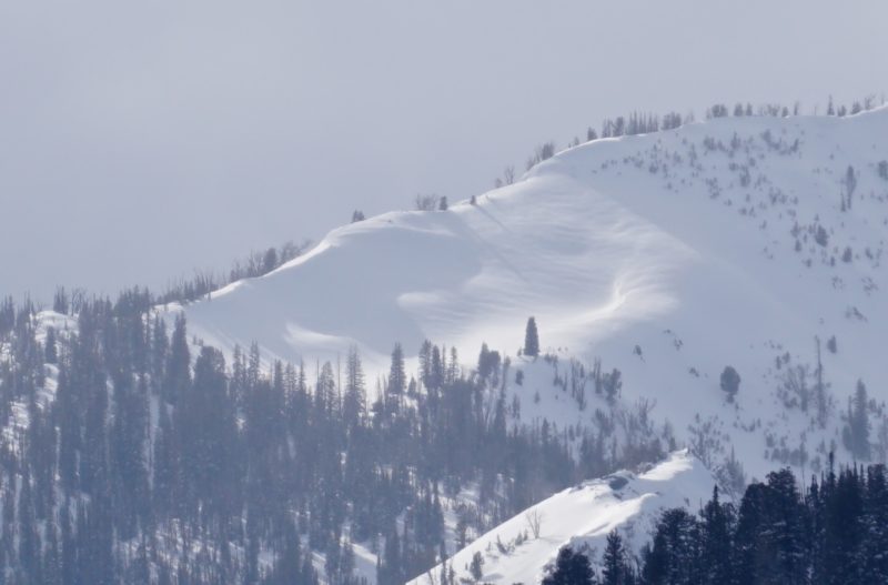
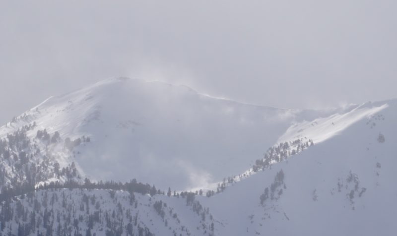
Strong winds past 24 hours moved a lot of snow at all elevations and are still moving snow in Sawtooth and Western Smoky zone at ridgelines. I saw a couple large, fresh avalanches and others that I'm not sure on the timing. I did not see widespread fresh wind slabs, but the wind added snow/weight to many middle elevation slopes and select upper elevation slopes. The wind event filled in or erased all signs of the past few days' ski tracks in exposed middle and upper elevation terrain.
Media/Attachments
Advanced Information
Weather Summary
Cloud Cover:
Mostly CloudyTemperature:
teens F at pass levelWind:
Strong , NWNew/Recent Snowfall:
4-8cm around Galena Summit, but wind made it hard to tell
Cloud cover: CLR in WRV through Boulders, PC in Smoky Mts and around Galena Summit, MC/OVC western Smokys and southern Sawtooths, obscured and snowing northern Sawtooths and northern White Clouds.
Strong NW winds moving snow in Sawtooths, mostly out of snow available for transport with current wind speeds and direction from Smiley Creek south.
Avalanche Observations
| # | Date | Location | Size | Type | Bed Sfc | Depth | Trigger | Photos | Details |
|---|---|---|---|---|---|---|---|---|---|
| 1 |
Feb 23, 2021 (+/- 1 day) |
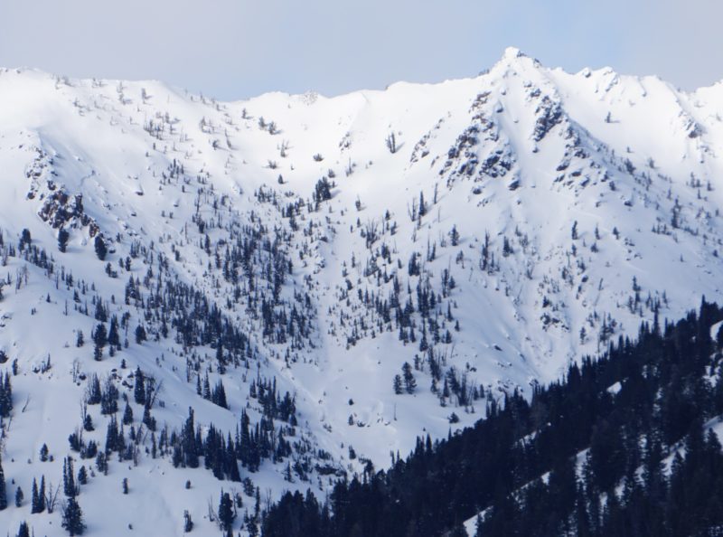
Westernhome Gulch S 9650ft |
D2 | U-Unknown | O-Old Snow | 2ft | N-Natural |
|
Report |
| 1 |
Feb 23, 2021 (+/- 1 day) |
Westernhome Gluch SE 9650ft |
D2 | U-Unknown | O-Old Snow | 3ft | N-Natural |

|
Report |
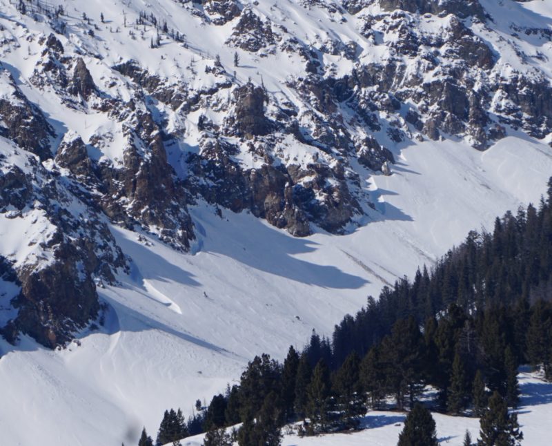
The Westernhome Gulch slides looked fresh, and the starting zones were likely loaded by this wind event. The crown depth, shape, and location indicate they probably failed on the 1/27 crust+FC layer that's been producing activity recently.
Snowpack Observations
No snowpack observations.
Avalanche Problems
The Westernhome Gulch slides fit the recent pattern of wind-affected, south-facing starting zones failing 2-4 ft deep, not surprising given the strong NW wind event over the past 24 hrs.
Upper elevations: I saw lots of wind-affected snow, dunes, and ripples but not much in the way of obvious fresh wind slabs. Guessing the wind blew too strong to form widespread slabs.
Middle elevations: All the tracks from this weekend around Galena Summit were blown in/erased/"ghosted" by the wind event and snow. Many middle elevation slopes were loaded by the wind event, although there appeared to be very few if any fresh middle elevation wind slabs.
Upper/middle elevation transition: Slopes over 35* in this elevation band would be the scariest place to be in my mind right now. We have well-developed weak layers and a healthy dose of wind-transported snow in the past 24 hrs, especially on SW-S-SE aspects where most of the recent activity occurred and the wind loading is most obvious.
Terrain Use
Driving and glassing to look at wind effects over a large area, so no terrain choices were made.
