Basic Information
Observation Details
Observation Date:
January 14, 2021Submitted:
January 14, 2021Observer:
SAC - Ethan DavisZone or Region:
Galena Summit and Eastern MtnsLocation:
Baker Lake, Brodie Gulch (Primarily SW-S-E, 8,000-9,600')Signs of Unstable Snow
Recent Avalanches?
YesCracking?
IsolatedCollapsing?
IsolatedSnow Stability
Stability Rating:
PoorConfidence in Rating:
ModerateStability Trend:
SteadyBottom Line
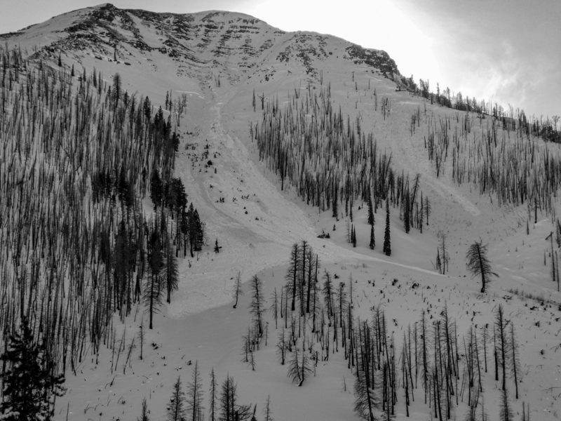
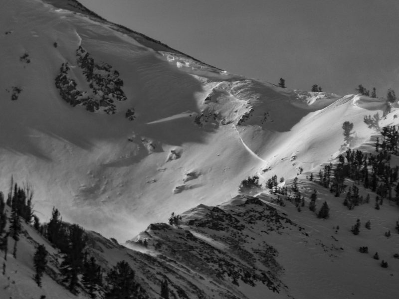
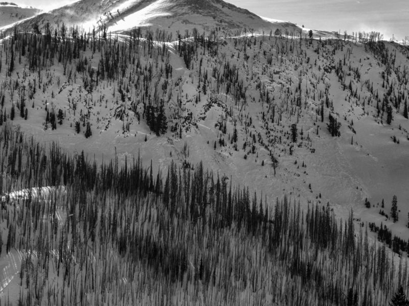
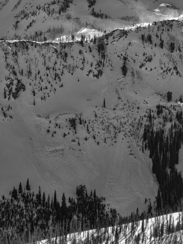
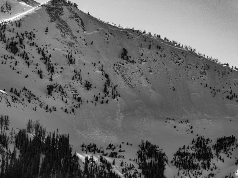
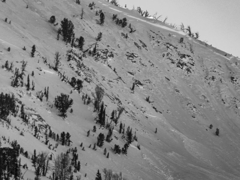
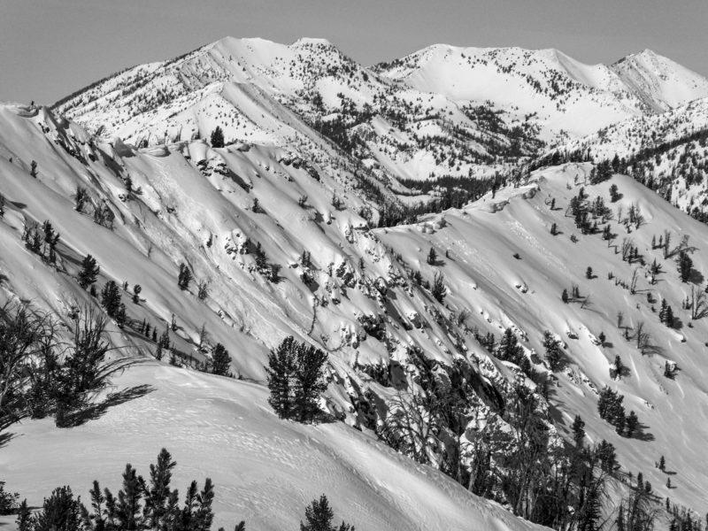
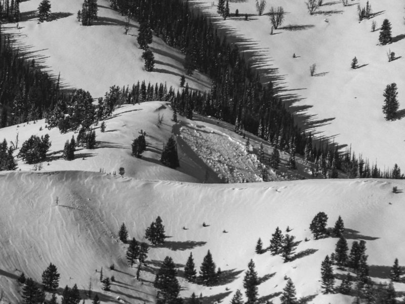
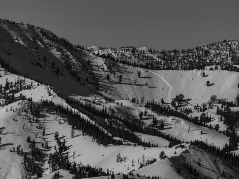
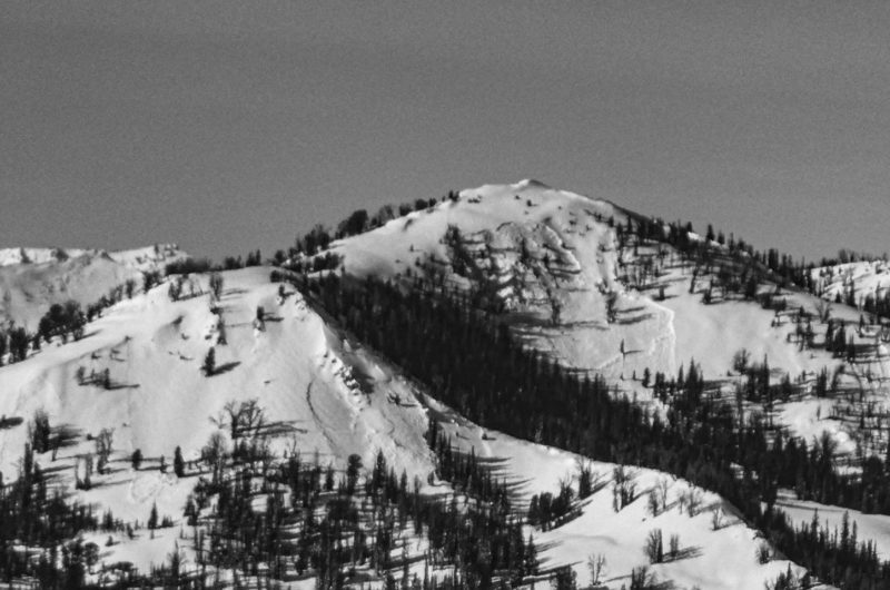
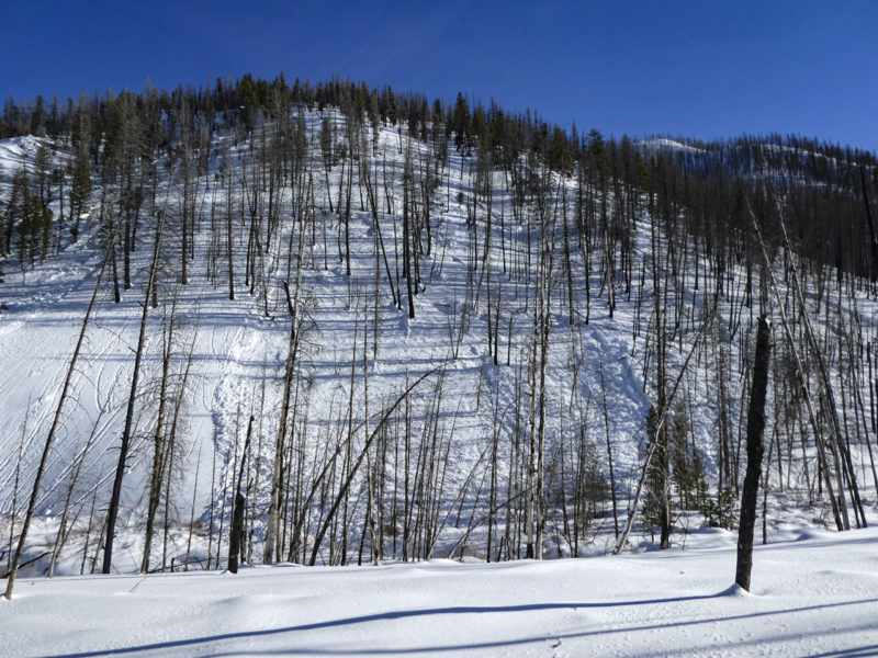
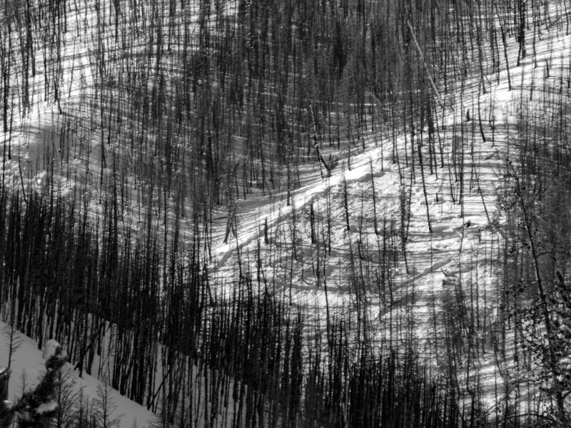
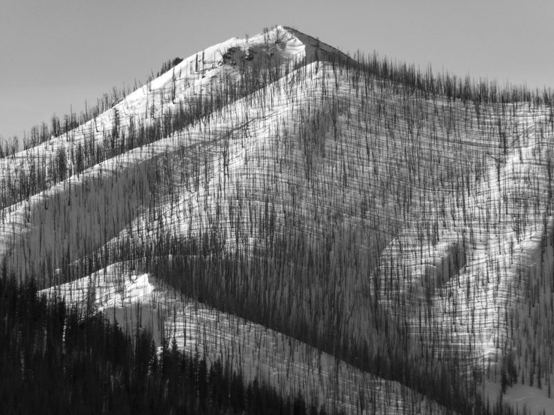
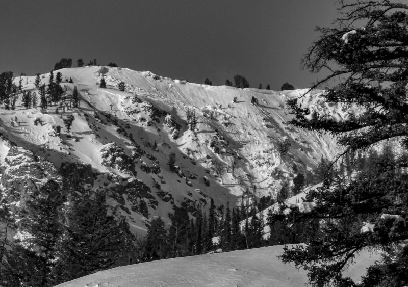
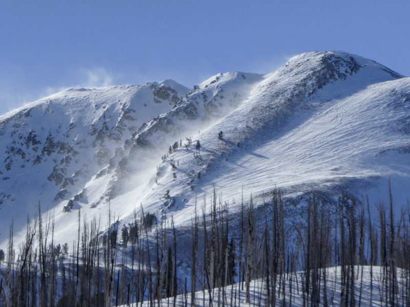
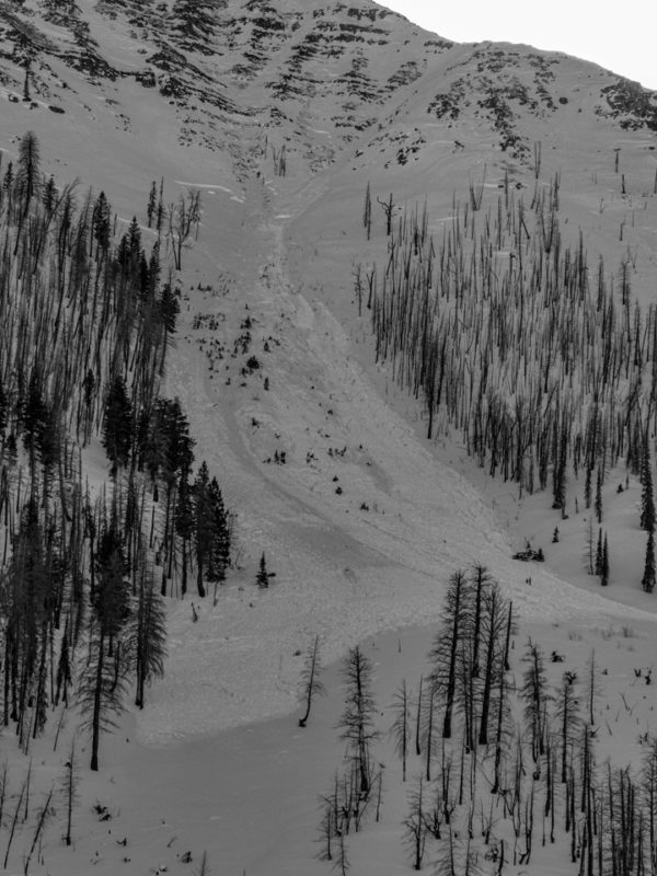
Avalanche activity from the January 12-13th storm was widespread in this area. I observed numerous avalanches in the Baker Creek Drainage, on Baker Peak, and over the divide into the western Smokys.
A healthy dose of these avalanches were on relatively sheltered middle and lower elevations, generally clustered on E and N facing slopes. Some slides were in obviously wind-loaded terrain and may have failed later in the storm.
Media/Attachments
Advanced Information
Weather Summary
Cloud Cover:
Mostly SunnyWind:
Strong , NWNew/Recent Snowfall:
HST ~6"NW wind moved snow in the Smoky alpine through midday before easing (slightly) in the afternoon.
Avalanche Observations
| # | Date | Location | Size | Type | Bed Sfc | Depth | Trigger | Photos | Details |
|---|---|---|---|---|---|---|---|---|---|
| 1 |
Jan 13, 2021 (+/- 1 day) |
Baker Peak N 9600ft |
D2.5 | HS-Hard Slab | N-Natural |


|
Report | ||
| 1 |
Jan 13, 2021 (+/- 3 days) |
Baker Peak E 9900ft |
D2 | HS-Hard Slab | N-Natural |

|
Report | ||
| 3 |
Jan 13, 2021 (+/- 1 day) |
Baker Peak NW 9000ft |
D2 | N-Natural |


|
Report | |||
| 1 |
Jan 13, 2021 (+/- 1 day) |
W Fork Big Smoky Creek E ft |
D2 | N-Natural |

|
Report | |||
| 2 |
Jan 13, 2021 (+/- 1 day) |
Western Smokys SE ft |
D2 | U-Unknown |


|
Report | |||
| 2 |
Jan 13, 2021 (+/- 1 day) |
Cunard Gulch NW 8900ft |
D2 | N-Natural |
|
Report | |||
| 10 |
Jan 13, 2021 (+/- 1 day) |
Cunard Gulch, Lost Shirt, Boyer Gulch E 8400ft |
D2 | SS-Soft Slab | N-Natural |


|
Report | ||
| 1 |
Jan 13, 2021 (+/- 1 day) |
Near Butterfield E 9700ft |
D2.5 | HS-Hard Slab | N-Natural |

|
Report |
Snowpack Observations
A proper rain crust was observed until just over about 7,700'. By the Baker Lake TH (8,000') the crust was very weak, thin, and flaky, disappearing shortly after.
Avalanche Problems
| Problem | Location | Distribution | Sensitivity | Size | Comments |
|---|---|---|---|---|---|
 Persistent Slab
|
|
Weak Layer(s):
Dec 11, 2020 (FCsf)
Comments: Layer was felt with pole pokes. Previous obs show its presence is widespread on all aspects and elevations. |
|||
 Wind Slab
|
|
Layer Depth/Date: 10-30 cm Comments: Isolated cracking and collapsing in exposed middle and upper elevation terrain lee to W and NW wind. |
Terrain Use
I avoided avalanche terrain.
