Basic Information
Observation Details
Observation Date:
February 3, 2021Submitted:
February 3, 2021Observer:
SAC - Scott SavageZone or Region:
Galena Summit and Eastern MtnsLocation:
Driving Hailey to Galena Summit - glassing and photos (Roadside observations from HWY 75)Signs of Unstable Snow
Recent Avalanches?
YesCracking?
None ExperiencedCollapsing?
None Experienced
No on-snow observations, so cracking and collapsing answers are N/A.
Bottom Line
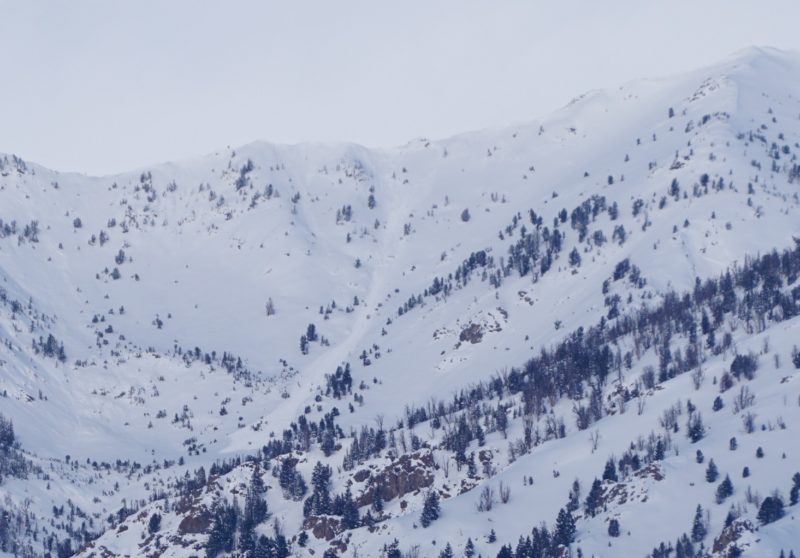
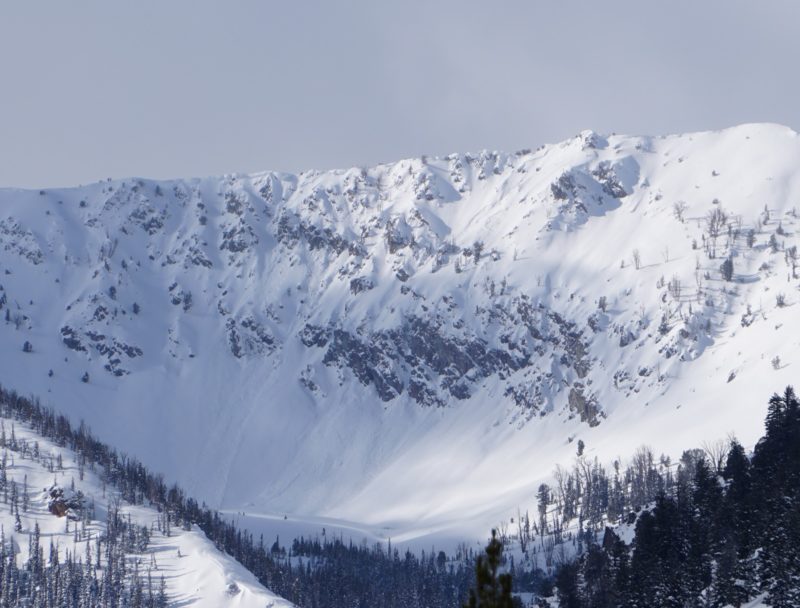
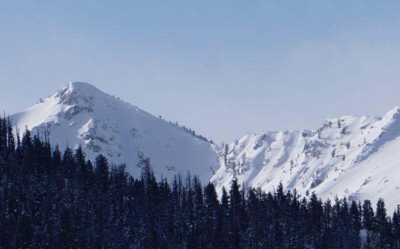
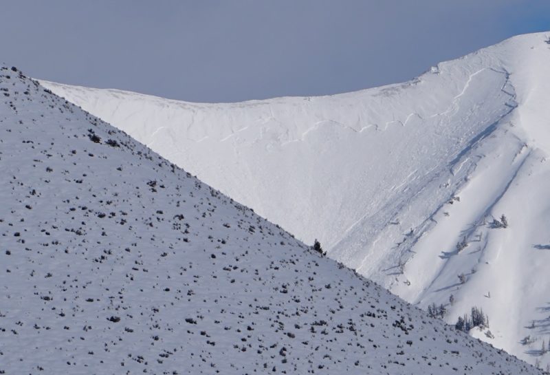
I saw a variety of wind slab, persistent slab, and borderline deep persistent slab avalanches that released during the storm last night. While it wasn't a big additional load, it was enough to tip the scales on some slopes and probably keep many slopes primed to trigger.
Advanced Information
Weather Summary
Cloud Cover:
Mostly CloudyTemperature:
Teens and 20s FNew/Recent Snowfall:
HN24 (new snow last 24 hrs) = 1-3" (2-8cm) roadsidePartly cloudy near Hailey and Ketchum, mostly cloudy on Smiley Creek/Stanley side of Galena Summit with many peaks obscured.
Avalanche Observations
| # | Date | Location | Size | Type | Bed Sfc | Depth | Trigger | Photos | Details |
|---|---|---|---|---|---|---|---|---|---|
| 1 |
Feb 2, 2021 (+/- 1 day) |
Croy Canyon NE 6350ft |
D2 | N-Natural | Report | ||||
| 1 |
Feb 2, 2021 (+/- 1 day) |
Goat Ck SE 10100ft |
D2.5 | N-Natural |
|
Report | |||
| 2 |
Feb 2, 2021 (+/- 1 day) |
W Fork Prairie Creek E 9800ft |
D2 | N-Natural |
|
Report | |||
| 1 |
Jan 29, 2021 (+/- 1 week) |
Norton Peak N 10100ft |
D2 | N-Natural |
|
Report | |||
| 1 |
Feb 2, 2021 (+/- 1 day) |
Eagle Creek SW 10000ft |
D3 | N-Natural |
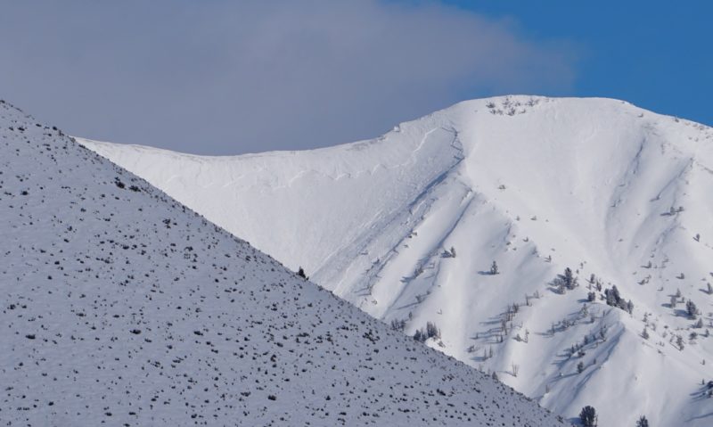
|
Report | |||
| 1 |
Feb 2, 2021 (+/- 1 day) |
Croy Canyon NW 6750ft |
D2 | U-Unknown |
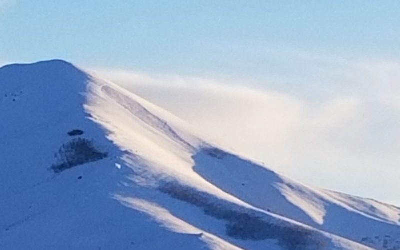
|
Report | |||
| 1 |
Feb 2, 2021 (+/- 1 day) |
Boulder Peak S 10600ft |
D3 | N-Natural |
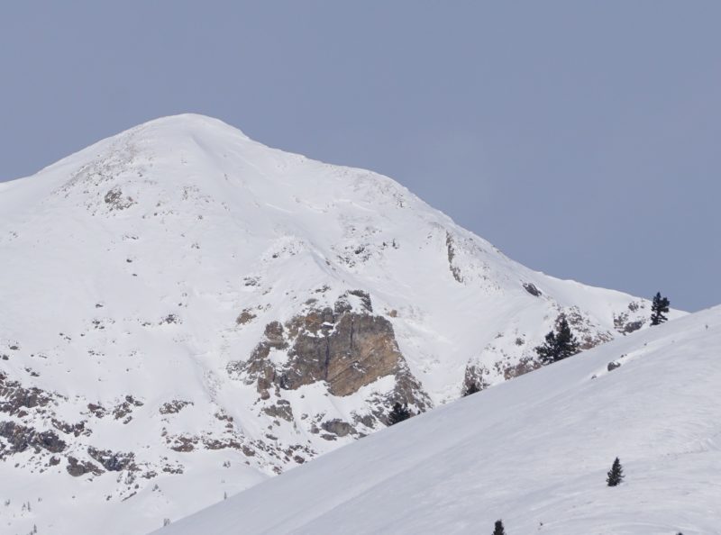
|
Report |
Variety of slides involving wind-loaded terrain from last night's storm, last weeks storm snow, and much larger slides in Eagle Ck and on Boulder Peak that probably failed on 12/11 weak layer.
Snowpack Observations
None performed.
