Basic Information
Observation Details
Observation Date:
November 10, 2022Submitted:
November 12, 2022Observer:
SAC - VandenBos (off duty)Zone or Region:
Galena Summit and Eastern MtnsLocation:
Galena Peak (7,400-10,000', primarily SW-W-NW)Signs of Unstable Snow
Recent Avalanches?
YesCracking?
IsolatedCollapsing?
None ExperiencedBottom Line
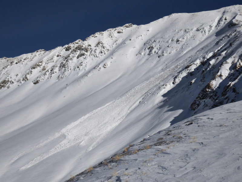
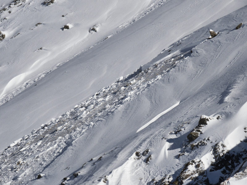
Recent storms have added a settled 60cm (2 feet) of snow to the snowpack. Winds have built slabs on upper elevation and some middle elevation slopes. Older snow from October presents the greatest threat for producing large avalnches.
Advanced Information
Weather Summary
New/Recent Snowfall:
HST = 20-25cm of relatively low-density snowClear skies, cold air, and light, occasionally gusty winds out of the NW.
Avalanche Observations
| # | Date | Location | Size | Type | Bed Sfc | Depth | Trigger | Photos | Details |
|---|---|---|---|---|---|---|---|---|---|
| 1 |
Nov 10, 2022 (+/- 1 day) |
Galena Peak NW 10400ft |
D2 | HS-Hard Slab | N-Natural |


|
Report |
Snowpack Observations
Winds shifted overnight as precipitation stopped. Significant transport was evident from winds blowing out of the NW. This was most obvious above 10,000' but some areas below that elevation had experienced some wind as well. I did not look directly at the October snow, but the large avalanche on Galena Peak is a clear sign that it is still a player, and may be for some time. This snow is fairly easy to detect using ski-pole probes (the snow above feels relatively dense, then your pole will poke through into the weaker snow below).
