Basic Information
Observation Details
Observation Date:
February 11, 2023Submitted:
February 12, 2023Observer:
SAC - VandenBos, RoloffZone or Region:
Banner SummitLocation:
Copper (6,700-8,300, W-NW-N-NE-E)Signs of Unstable Snow
Recent Avalanches?
YesCracking?
None ExperiencedCollapsing?
None ExperiencedSnow Stability
Stability Rating:
GoodConfidence in Rating:
Stability Trend:
Advanced Information
Weather Summary
Cloud Cover:
Mostly SunnyWind:
Light , WClear skies to start the day with a few bads of passing high stratocumulus. Temperatures remained sensibly cool all day. Winds were calm to light, with some wind audible aloft.
Avalanche Observations
| # | Date | Location | Size | Type | Bed Sfc | Depth | Trigger | Photos | Details |
|---|---|---|---|---|---|---|---|---|---|
| 1 |
Feb 10, 2023 (+/- 1 day) |
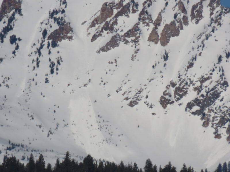
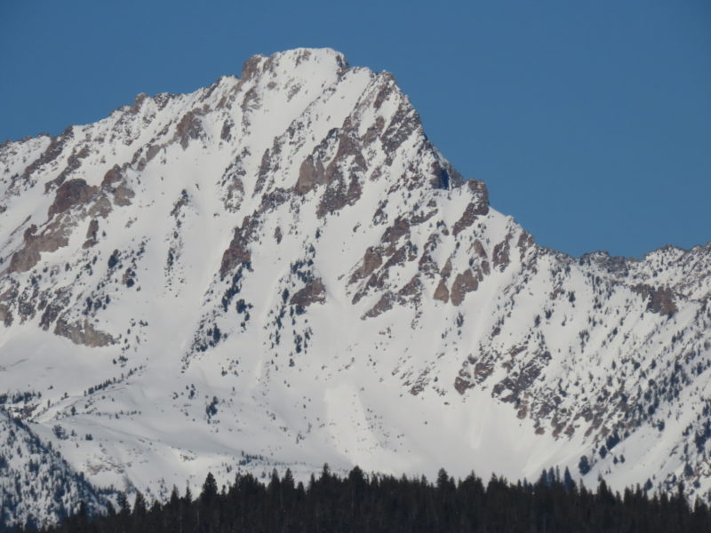
Williams Peak SE 9800ft |
D1.5 | N-Natural |
|
Report | |||
| 1 |
Feb 9, 2023 (+/- 3 days) |
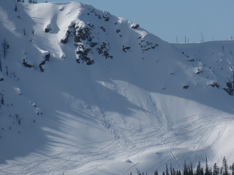
Bull Trout E 8500ft |
D2 | U-Unknown |
|
Report | |||
| 1 |
Feb 10, 2023 (+/- 1 day) |
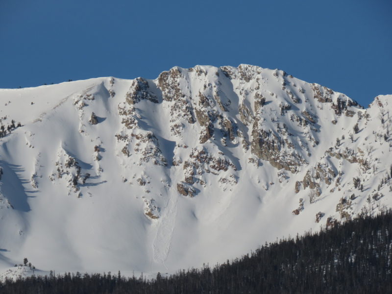
McDonald Peak E 9300ft |
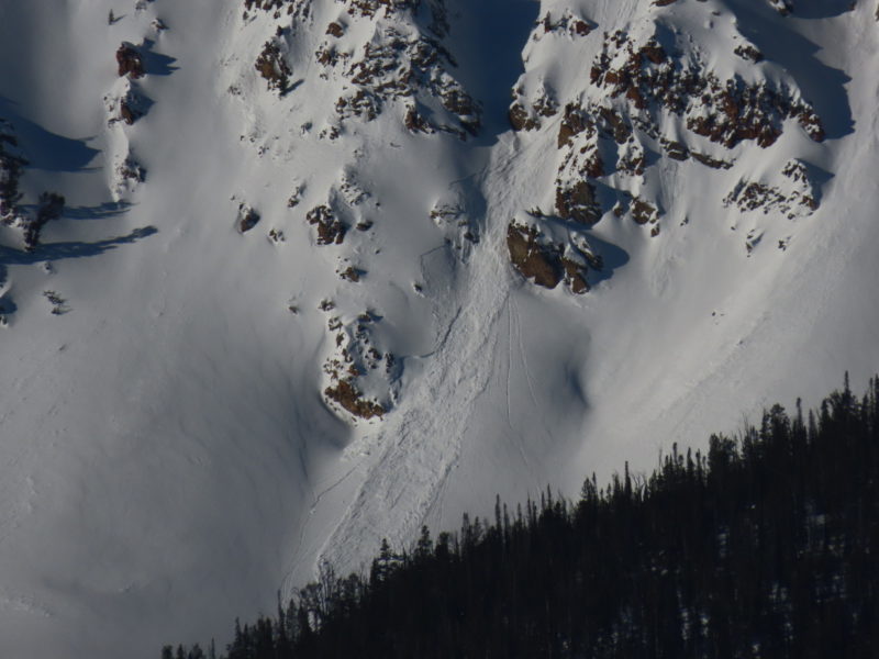
D1.5 | SS-Soft Slab | N-Natural |
|
Report |
Snowpack Observations
Primary objective was to check in on weak layers in the upper snowpack (1/5 and more recent). We dug three pits (SW @ 7300, N @ 7600, E @ 8200) on a variety of aspects to look at the character of the 1/5 interface. In all locations this interface was showing good signs of healing. ECTs returned multiple ECTNs with significant amounts of nonstandard force (20-30 shoulder taps, and occasionally a stomp needed to initiate a fracture here). The location of this interface was fairly apparent (down 60-65cm underneath a slab that grades from F to 1F to P+) but there was not an obvious weak layer there. I found some small facets on top of a stiffer surface in all pits, with a few shards of SH present here and there. In places where the weak layer looked like what we observed today I'd be surprised to trigger an avalanche.
There are several weak layers in the upper 15-20cm of the snowpack. These were deposited in late January and early February. These layers lack enough of a slab on top of them to be problematic in sheltered terrain, but I'd be concerned about them where they sit underneath recent wind slabs. On shaded slopes these layers consist mostly of small facets, while on solars there are facets on either side of several crusts.
At the surface, a new crust has formed/is forming. This was also accompanied by facets above and particularly below. This crust seems like a likely candidate for misbehavior, but without a slab on top it isn't problematic yet. When snowfall returns to this zone in earnest I suspect we will be most worried about the smattering of weak layers currently in the upper 15-20cm of the snowpack.
We also observed a fair bit of evidence of recent wind transport, even down into lower elevation terrain. The combination of these slabs and the weak layers in the upper snowpack seemed like the most likely spot to get into trouble in this area today. Despite plenty of sunshine and a warm start to the day it did not seem like we were going to get to a solar-driven loose snow problem today. I suspect it could have happened in the Sawtooths though.
Terrain Use
We felt comfortable entering avalanche terrain in the low to mid 30s that had not been recently wind loaded.
